
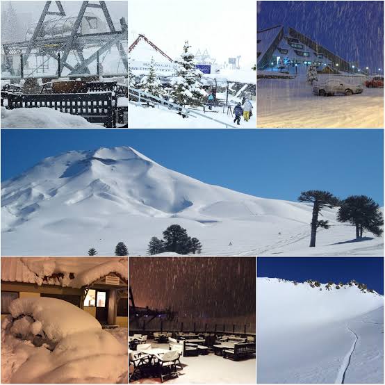
After a slow and uncertain start to the South American ski season, winter has arrived in dramatic fashion across the Andes. Resorts in Chile that were still waiting for reliable snow through late June and early July have now been buried beneath one of the most significant storm cycles in recent memory.
Since a powerful storm system arrived around July 16, relentless snowfall has transformed the mountains. In some parts of the central Andes, more than 4.5 metres of snow has accumulated, turning what had been a disappointing season into one of exceptional conditions almost overnight.
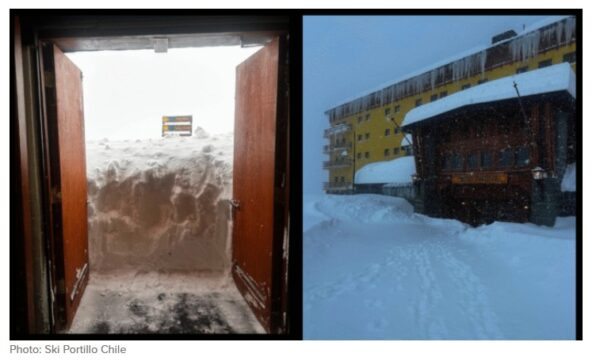
Major Chilean ski areas including La Parva, Portillo and El Colorado all reported extraordinary snowfall during the opening phase of the storm. More than 2.5 metres fell in just five days at several resorts, well beyond even the most optimistic forecasts. The sheer volume and persistence of the snow forced Portillo to temporarily suspend operations, with management describing the weather event as highly unusual because of both its intensity and its duration.
Weather analysts say the storm has delivered the equivalent of an entire season’s snowfall to some South American resorts in little more than a week. Even more remarkably, forecasters believe the pattern is far from over, with additional snow expected to continue building the already impressive base across much of the Andes.
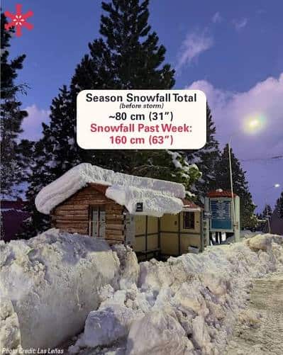
Forecasts suggest another 50 to 100 centimetres of fresh snow could fall across favoured areas of central Chile, Las Leñas and the Chillán region before the end of the month. Corralco is expected to receive a further 40 to 80 centimetres, while resorts around Catedral and Chapelco could see another 20 to 50 centimetres. Southern resorts such as Cerro Castor are forecast to receive only light additional accumulations.
Meteorologists believe the remarkable snowfall may be an early indication of a strengthening El Niño weather pattern in the Pacific Ocean. Climate scientists have been monitoring the event closely, with current forecasts indicating it has the potential to become one of the strongest El Niño events recorded since modern observations began in 1950.
View this post on Instagram
According to climate experts, there is now a high probability that El Niño will continue strengthening through spring in the Southern Hemisphere and into the Northern Hemisphere winter. While every El Niño behaves differently and local conditions can vary significantly, stronger events generally increase the likelihood of more pronounced weather patterns across many regions of the globe.
For South America’s ski industry, however, the timing could hardly be better. What began as a worrying winter has rapidly turned into a season offering deep snow, improved snowpack and the prospect of outstanding skiing across much of Chile and neighbouring Argentina if the current weather pattern continues.